PROVIDING A FULL SUITE OF DIGITAL IMAGE PROCESSING AND ANALYSIS SERVICES
PROVIDING A FULL SUITE OF DIGITAL IMAGE PROCESSING AND ANALYSIS SERVICES
Image Processing
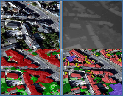
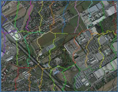
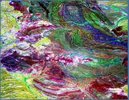
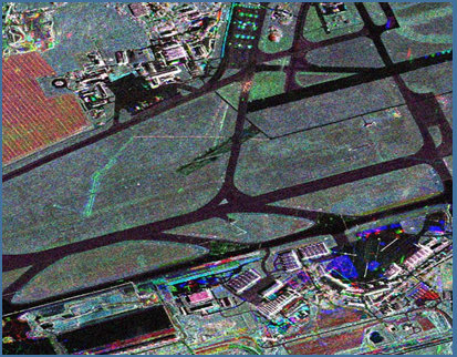
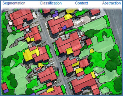
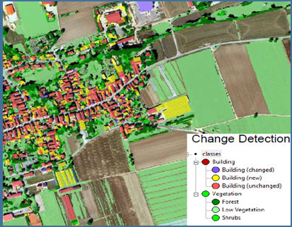
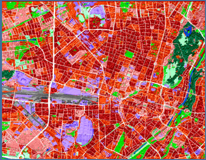
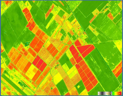
PCI provides a full suite of digital image processing and analysis solutions to capture Earth’s ever-changing environment. Whether you own the imagery or would like us to acquire the imagery for you, we provide customers with the cost effective solutions available on the market today. While many vendors are limited to using only low resolution satellite images, we have the expertise to process the ultra-high resolution aerial or satellite imagery on a large scale and the ability to utilize and integrate multiple sensors and multi-resolutions imagery into a single project. Our object-oriented image analysis approach offers innovative methods to detect individual features with very well-differentiated characteristics from their surroundings. We use leading edge image processing software and high-speed computers to extract meaningful information from the remotely sensed data. We have extensive experience in interpretation and processing of airborne and satellite imagery and have worked with most of the commercially available satellite data products.