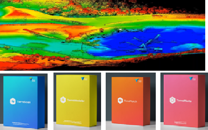
Adani Natural Resources, Adani Group recently purchased Terrasolid software for LiDAR data processing for efficient mining operations. Terrasolid helps Adani process the point cloud data, generate a DEM and calculate corresponding volumes and masses. By comparing surface models captured at different points of time, the erosion and accumulation (cut and fill) of material can be […]
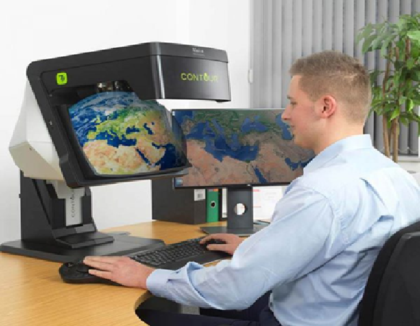
In our recent demonstration at MRSAC, Nagpur, we were fortunate to display of the CONTOUR 3D stereoscopic GIS display developed by Vision Engineering Ltd. UK. This display technology from our new partner impressed MRSAC scientists/engineers with both the product design and function. It is a patented technology and unique in that there is no equivalent […]


