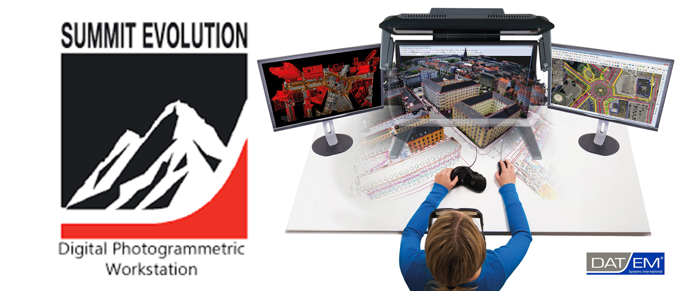
Terrasolid Announces Release of Terrasolid UAV for DJI L1

Terrasolid announced release of their newest product, Terrasolid UAV for DJI L1. The new Terrasolid UAV is designed to offer top flexibility for different applications over complex and changing environments, preserving the highest quality standards of your L1. Terrasolid shared the limited time full functional evaluation offer Terrasolid UAV Bundle including TerraScan UAV and TerraModeler […]

The first national 3D building model created using Terrasolid’s TerraScan released!

The Estonian Land Board produced the countrywide 3D building dataset by combining laser scanning point cloud with 2D buildings data from Estonian Topographic Database (ETD). 3D representations of buildings, including roof structures (LOD 2) were created with TerraScan and later processed with tools provided by ArcGIS and FME. Attribute data was added to 3D building […]

Adani Natural Resources selects Terrasolid for LiDAR data processing for mining operations

Adani Natural Resources, Adani Group recently purchased Terrasolid software for LiDAR data processing for efficient mining operations. Terrasolid helps Adani process the point cloud data, generate a DEM and calculate corresponding volumes and masses. By comparing surface models captured at different points of time, the erosion and accumulation (cut and fill) of material can be […]

PCI demonstrated CONTOUR 3D stereoscopic GIS display technology to MRSAC’s scientists/engineers successfully

In our recent demonstration at MRSAC, Nagpur, we were fortunate to display of the CONTOUR 3D stereoscopic GIS display developed by Vision Engineering Ltd. UK. This display technology from our new partner impressed MRSAC scientists/engineers with both the product design and function. It is a patented technology and unique in that there is no equivalent […]

TerraGo Technologies Announces Release of GeoPDF® Publisher for ArcGIS® Pro

TerraGo Technologies announced the release of their newest product, GeoPDF® Publisher for ArcGIS® Pro. With GeoPDF Publisher for ArcGIS Pro, GeoPDF documents can be shared with end users anywhere, on any device, thus extending the reach and value of an organization’s investment in ArcGIS. GeoPDF Publisher for ArcGIS Pro gives customers unmatched capabilities for configuring […]

MRSAC, Nagpur Selects TerraGo GeoPDF 3D composer for making elevation data portable and actionable for their end-users

The MRSAC, Nagpur has processed very high resolution stereo satellite images for the entire state of Maharashtra and generated enormous amounts of Terrain and Ortho imagery data via its MahaBHUMI project but has found that it is unable to disseminate and showcase the 3D data to its end-users through simple, freely available 3D terrain visualization […]

National Remote Sensing Centre (NRSC), Hyderabad selects Terrasolid for mobile LiDAR processing

National Remote Sensing Centre (NRSC), Hyderabad recently purchased Terrasolid software for processing of mobile LiDAR and Image data. Terrasolid SW helps NRSC process the mobile laser scanner data, road surface damage analysis such as ruts, cracks, potholes, etc., computation of road cross section parameters, detection of moving objects, detection of road furniture objects, such as […]

NIGST, Survey of India, Uppal, Hyderabad purchased Terrasolid for conducting training courses on point cloud and image processing

National Institute for Geo-Informatics Science and Technology & Mapping (NIGST), Survey of India, Uppal, Hyderabad recently purchased Terrasolid software for conducting point cloud and image processing. NIGST officers training facilitates for the Staff of Survey of India and other Government Organisations, and Scholars from Afro-Asian countries. NIGST courses are held in high esteem by Scientific […]

X


    Fill the form and get a quote!

    Our sales team will contact you.


    Products of interest