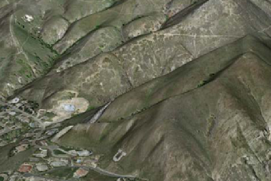
The MRSAC, Nagpur has processed very high resolution stereo satellite images for the entire state of Maharashtra and generated enormous amounts of Terrain and Ortho imagery data via its MahaBHUMI project but has found that it is unable to disseminate and showcase the 3D data to its end-users through simple, freely available 3D terrain visualization tool. To address this problem, the MRSAC, Nagpur is pursuing the use of enhanced 3D PDF files to deliver 3D terrain models and draped imagery as a terrain visualization tool.
TerraGo 3D Composer enables users to take digital elevation model and create GeoPDF® files that are three dimensional. Just like a 2D GeoPDF map, these geo-referenced PDF files are highly portable and interactive. Now, 3D GeoPDF maps contain geographic coordinates in addition to elevation data. As the user moves a mouse over the PDF file, the coordinate information is dynamically reflected on the document. The files can contain multiple layers such as contour, ortho image, road, buildings, tress, drainages that have color and transparency for easy analysis.
When used in conjunction with the free TerraGo Toolbar™, users can measure distance and bearing, display multiple coordinates, and geo-locate themselves on the GeoPDF file. And since the files have been compressed using advanced technology, these files can be easily distributed and shared with end users.


