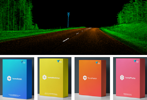
National Remote Sensing Centre (NRSC), Hyderabad recently purchased Terrasolid software for processing of mobile LiDAR and Image data.
Terrasolid SW helps NRSC process the mobile laser scanner data, road surface damage analysis such as ruts, cracks, potholes, etc., computation of road cross section parameters, detection of moving objects, detection of road furniture objects, such as traffic signs, poles, bus stops, crash barriers, noise protection walls, etc., shape and condition of paint markings, line-of-sight analysis related to regulations for stopping and overpassing distances, clearance areas under bridges, overhead wires, and in tunnels, danger object detection along the road etc.
For product demonstration and sales inquiry in India, please contact palash@pciindia.net