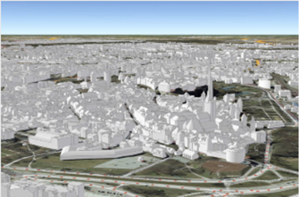
The Estonian Land Board produced the countrywide 3D building dataset by combining laser scanning point cloud with 2D buildings data from Estonian Topographic Database (ETD). 3D representations of buildings, including roof structures (LOD 2) were created with TerraScan and later processed with tools provided by ArcGIS and FME. Attribute data was added to 3D building models by spatial joins to building footprints (ETD) and land parcels, resulting in rich set of semantic data (address, links to different national registries, etc.), as well as appropriate metadata. A perfect example of first steps in Digital Twin creation.
The 3D data can be viewed in application, hosted in ArcGIS Online https://3d.maaamet.ee/kaart/
For product demonstration and sales enquiry in India, please contact palash@pciindia.net