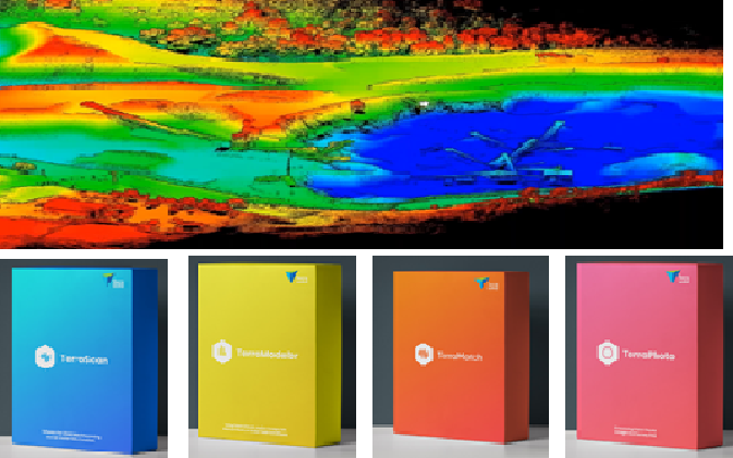
Adani Natural Resources, Adani Group recently purchased Terrasolid software for LiDAR data processing for efficient mining operations.
Terrasolid helps Adani process the point cloud data, generate a DEM and calculate corresponding volumes and masses. By comparing surface models captured at different points of time, the erosion and accumulation (cut and fill) of material can be easily monitored and documented.
Examples of derived products from the LiDAR data using Terrasolid include break line enforced 3D terrain models, classified ground models, profiles, cross sections, topographic contours, volumetric analysis and more. These products serve as base data layers for analysis and planning of their mining operations across India.
For product demonstration and sales inquiry in India, please contact palash@pciindia.net


