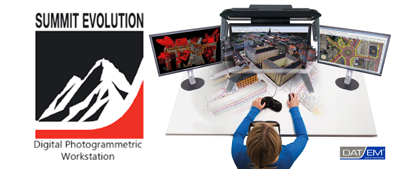
DAT/EM Systems International releases their Version 8.0 Summit Evolution with new features, improvements and bug fixes on the software. Please review these revisions made to the software and update your software to implement changes. If you have not yet renewed maintenance for version 8.0 Summit Evolution Software, please do so right away by contacting Palash […]
The Zenmuse L1 is the first Lidar payload developed by DJI, integrating a Livox Lidar module, a high-accuracy IMU and a camera with a 1-inch CMOS on a 3-axis stabilized gimbal. The L1 delivers enhanced 3D data capture capability with a detection range of up to 450m, enabling the acquisition of up to 2 square […]
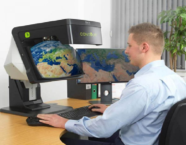
PCI will host a CONTOUR Demonstration Day in Hyderabad, India on July 27, 2021. CONTOUR is a glasses-free, stereoscopic, display system which enables you to see subjects in true 3D with stereo Full HD resolution and outstanding depth perception. Essential for users who need 3 dimensional visualisation without the constraints and issues of VR headsets. […]
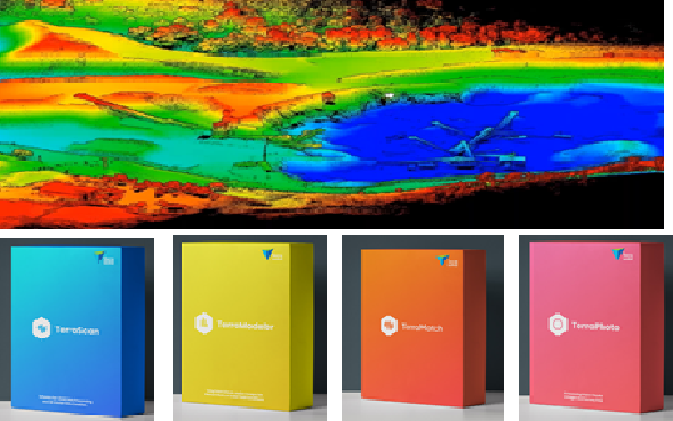
Terrasolid announced release of their newest product, Terrasolid UAV for DJI L1. The new Terrasolid UAV is designed to offer top flexibility for different applications over complex and changing environments, preserving the highest quality standards of your L1. Terrasolid shared the limited time full functional evaluation offer Terrasolid UAV Bundle including TerraScan UAV and TerraModeler […]
The Estonian Land Board produced the countrywide 3D building dataset by combining laser scanning point cloud with 2D buildings data from Estonian Topographic Database (ETD). 3D representations of buildings, including roof structures (LOD 2) were created with TerraScan and later processed with tools provided by ArcGIS and FME. Attribute data was added to 3D building […]
Adani Natural Resources, Adani Group recently purchased Terrasolid software for LiDAR data processing for efficient mining operations. Terrasolid helps Adani process the point cloud data, generate a DEM and calculate corresponding volumes and masses. By comparing surface models captured at different points of time, the erosion and accumulation (cut and fill) of material can be […]
In our recent demonstration at MRSAC, Nagpur, we were fortunate to display of the CONTOUR 3D stereoscopic GIS display developed by Vision Engineering Ltd. UK. This display technology from our new partner impressed MRSAC scientists/engineers with both the product design and function. It is a patented technology and unique in that there is no equivalent […]
PCI Software Pvt. Ltd. is the authorized reseller for CONTOUR – GLASSES-FREE 3D STEREOSCOPIC GIS DISPLAY in India and SAARC Countries. To purchase CONTOUR display unit please contact us, palash@pciindia.net If you would like to see the demo of CONTOUR display unit before you buy it, please contact our sales team. If you need any […]
PCI Software Pvt. Ltd. is the authorized reseller for DAT/EM in India and SAARC Countries. To purchase DAT/EM products please contact us, palash@pciindia.net We provide support and training on the DAT/EM products for digital photogrammetry workflows. If you would like to try out the DAT/EM software before you buy it, please contact our sales team. […]
TerraGo Technologies announced the release of their newest product, GeoPDF® Publisher for ArcGIS® Pro. With GeoPDF Publisher for ArcGIS Pro, GeoPDF documents can be shared with end users anywhere, on any device, thus extending the reach and value of an organization’s investment in ArcGIS. GeoPDF Publisher for ArcGIS Pro gives customers unmatched capabilities for configuring […]
